Analytics4Vegetation, a project developed by E-REDES with the support of EDP Inovação, is a tool for controlling protection zones around high and medium voltage overhead lines, in a scenario where climate change and extreme phenomena increase the risks to the safety of electricity networks.
The tool calculates vegetation growth using various parameters and variables to predict the growth of each plant species, using artificial intelligence techniques, resulting in the generation of alerts for potential situations where vegetation interferes with the electricity grid. If the owners of the land have not acted, and a situation of risk to people and property is expected, work orders to prune or cut back the vegetation are carried out.
In this way, E-REDES is able to guarantee the monitoring of 68,000 kilometres of HV and MV overhead lines in relation to the regulated safety distances, and substitute itself for the owners when the safety of people and property is compromised.
Analytics4Vegetation uses LIDAR, a laser system, to precisely measure and map 3D information about the environment around overhead power lines.
This technology, which can achieve 200,000 pulses per second, makes it possible to see not only the ground, vegetation, trees and artificial objects, including poles and lines, but also noise (e.g. birds).
LIDAR is installed on a helicopter or unmanned aerial vehicle (UAV).
The information captured on flights about the distances of vegetation from the airlines are valuable inputs for processing in Analytics4Vegetation, as is the integration of other internal and external data from dispersed sources, such as:
- Wind
- Precipitation
- Proximity to the coast
- Altitude; Temperature
- Protected areas
- AT-MT Airlines
Once the information has been processed, an algorithm developed by E-REDES for predicting tree growth near overhead lines is applied.
Based on these growth results and taking into account the stipulated safety distances, the trees that potentially need intervention are identified, grouped by span.
The algorithm developed estimates how far a particular tree will be from the line in a year, two years or three years if it is not cut down or pruned.
Once the Labelec reports have been processed and the algorithm has obtained the results indicating the trees that potentially need intervention, they are sent to the E-REDES providers to carry out the work.
Once the work has been carried out in the field, the data is immediately updated in all the systems and reinserted into the analytical models to predict the optimum natural period for the new maintenance.
To facilitate decision-making by the new players in the process, this data is presented on intuitive, personalised dashboards.


Project under implementation
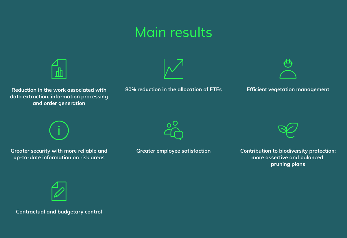
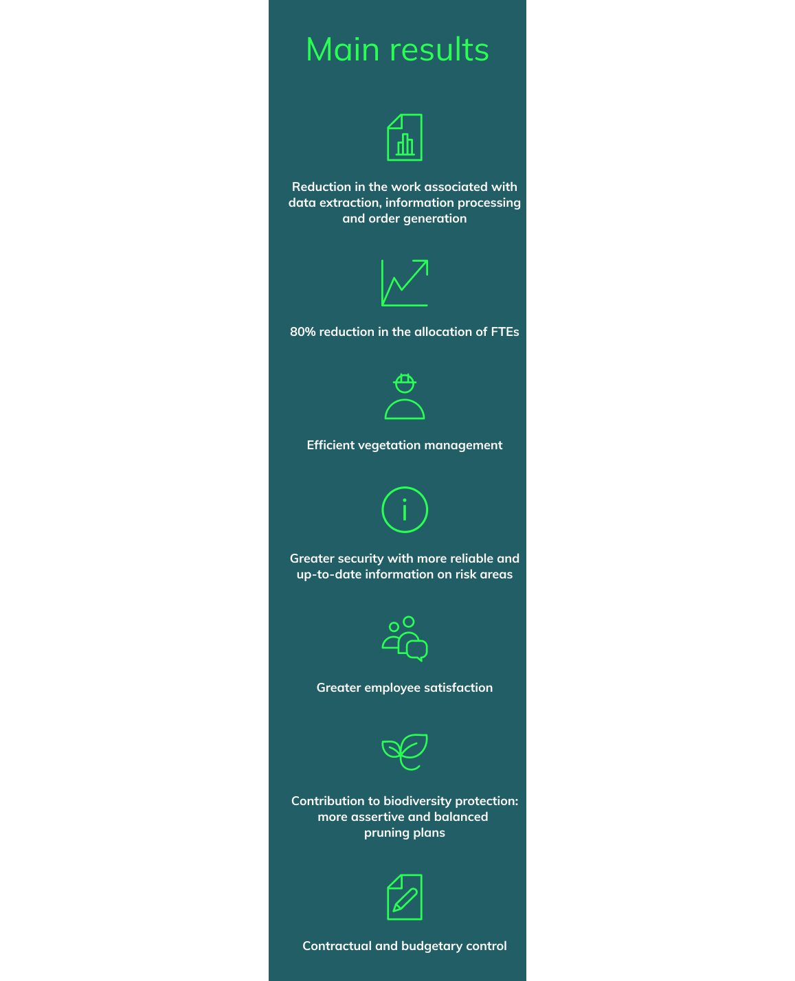
The Analytics4Vegetation project has been under implementation since 2022 at national level. Since then, the project has been continuously improved to make growth forecasts more appropriate and reliable. This approach aims to mitigate false alarm situations and the need to travel, resulting in the optimisation of vegetation management resources.
This innovative solution enables effective control of vegetation and forests, guaranteeing more responsible and sustainable biodiversity conservation. The aim is to ensure the safety of electricity networks, while contributing to the preservation of the environment and biodiversity.